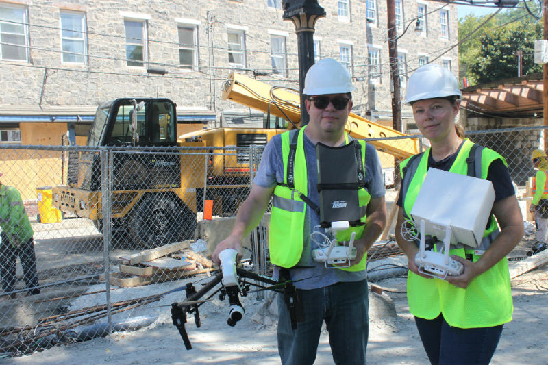
Preservation Maryland spearheaded a partnership with Elevated Element and Direct Dimensions to help document the historic community.
As a component of Preservation Maryland’s strategic response to the devastating July 30 flood, the organization helped to bring in two firms to document the remaining historic fabric of the city. Elevated Element provided professional drone footage of the district and used advanced photogrammetry software to stitch together thousands of individual high-resolution images to create accurate 3D models of historic buildings. Drones also assisted in providing critical footage of portions of buildings inaccessible due to terrain or sighting to assist in damage analysis. Elevated Element, a leader in drone surveying technology, created special software specifically for this flight mission.
Direct Dimensions, a Owings Mills based company which provides laser scanning, reverse engineering, and digital modeling services, also assisted by using extremely accurate lasers to scan several significant buildings and streetscapes and capture the impact of the damage while also creating a record of the current situation before large-scale rebuilding begins. These laser scans are then compiled with the HD drone photography to create 3D models accurate to 2 millimeters. A virtual fly-through of the scanned historic district in captured in the video below.
The value of both efforts will be felt for years to come as historians and planners alike will have extremely accurate documentation of the district to aid in future decisions and understanding of the iconic historic community. Deployment of such technology in a historic district following a disaster is a new option for preservationists concerned about accurate documentation in a crisis situation.
Both Elevated Element and Direct Dimensions are based in Owings Mills and donated their services to assist in Preservation Maryland’s mission to help Ellicott City recover and rebuild.

