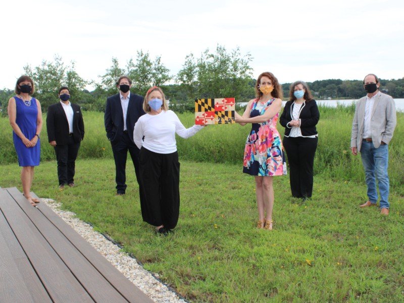
Kent County, Maryland’s picturesque historic and natural resources were the subject of a model report which confirmed the unique and unparalleled opportunities for preservation in this eastern shore county. For their inspired and innovative undertaking of the Preliminary Cultural Landscape Assessment of Kent County, Maryland, the project team comprised of the Kent Conservation & Preservation Alliance, Barton Ross & Associates, McGinnis Landscape (now Kennon Williams Landscape Studio), Heritage Strategies, and Washington College Center for Environment and Society, will receive the Smart Growth Excellence Award from Preservation Maryland and Smart Growth Maryland.
Download the Report:
 The 132-page report is a comprehensive document that includes historical and contemporary maps highlighting important features of the landscape and historical resources.
Analysis throughout the report focuses on what is anecdotally known to be true – that the landscape of Kent County holds both physical and cultural significance to the rural character of the county and the Eastern Shore. That is not to say that this report is not an important planning and documentation exercise, because as stated in the report, “Kent County’s agricultural and maritime landscapes represented one of the largest surviving combined land and water surface areas associated with early settlement and historical development of Maryland’s Eastern Shore.”
The report’s clear conclusion about the unique character and lasting integrity of Kent County should serve as a call to action to preserve the county’s cultural landscape.
MORE FROM THE NOMINATION
WRITTEN & SUBMITTED BY BARTON ROSS & ASSOCIATES
The purpose of the Preliminary Cultural Landscape Assessment of Kent County, Maryland, was to produce critical documentation and defensible assessment findings that would support efforts to protect Kent County’s irreplaceable landscape. As the client for the project, Kent Conservation and Preservation Alliance (KCPA) obtained support from Preservation Maryland, which named Kent County’s cultural landscapes as one of its “Six-to-Fix” projects in 2016, and provided KCPA with a grant for the study. Kent County’s Commissioners, the Bartus Trew Providence Preservation Fund of the National Trust, and private donors provided further funding support.
Kent County is a cultural landscape that was occupied by Native Americans for thousands of years before European contact and exploration in the early 1600s. It is among the earliest places settled in eastern North America by English colonists and African Americans. The county comprises 413 pastoral square miles on a scenic peninsula, where the Chester and Sassafras rivers flow into the Chesapeake Bay. It is a picturesque rural landscape containing a wealth of historic resources, comprising not only the 700-plus resources individually identified in the Maryland Inventory of Historic Properties (MIHP), but also, and significantly, a substantially intact working landscape representing agricultural practices extending for over 300 years. The economic conditions that first favored the agrarian and maritime settlements have remained virtually unchanged. It is still possible to read that history in the individual historic resources as well as the larger landscape patterns associated with the surviving matrix of highly connected landscape systems and features.
During 2017 and 2018, KCPA was able to use a 2005 study of indicators within the cultural landscape of the Stories of the Chesapeake Heritage Area in order to combat an effort before the Maryland Public Service Commission in Case #9411 to empower a utility-scale solar development proposed for Kent County. In that case, the developer sought to undermine local zoning designed to protect farmland from inappropriate uses. Although KCPA was successful, the experience revealed the immediate need to develop additional information that could be used to defend the working landscape from inappropriate modern development.
The Preliminary Cultural Landscape Assessment of Kent County report definitively revealed that the county’s early colonial settlement, circa 1650, combined with both its access to world markets in the 18th-century and the remarkable extent of rich farmland, meant that the landscape was imprinted early with distinctive agricultural patterns and a wealth of architecture throughout the countryside, small towns and villages. The county’s isolation after the end of the Age of Sail meant that unlike most such landscapes in other colonial regions, industrialization and urbanization did not overwhelm those early patterns.
Cultural landscape standards and guidelines developed by the National Park Service provided the initial framework for the professional project approach. These standards included the National Park Service’s A Guide to Cultural Landscape Reports, Contents, Process, and Techniques and the US Department of Interior’s National Register Bulletin 30: Guidelines for Evaluating and Documenting Rural Historic Landscapes. The project team also consulted recent case studies focusing on largescale rural landscape assessments and large-scale rural landscape districts listed on the National Register of Historic Places.
This is a large agricultural landscape on the East Coast that has a high level of land use continuity and surviving physical characteristics which makes its existence among the rarest of the rare, especially one that was densely settled so early in the history of the nation and has so many identified historic resources. Kent County’s cultural landscape can be defined as a continuing landscape, although without taking a more detailed account of the entire landscape, it is impossible to truly understand the hundreds of individual sites in the MIHP, the 23 historic districts and numerous buildings listed in the National Register of Historic Places, and many other discrete historically, culturally, and archaeologically significant resources.
The final report documented an innovative project, the results of which are brand new databases to store geographic data, a complete review and compilation of available historic evaluations of the county’s resources, and a seminal understanding of the significance of the county’s timeless cultural landscape. The report is being used by KCPA and the county to educate the public, create a Story Map website, and for collaboration with Maryland Public Television and the Maryland Heritage Areas Authority to create a video documentary suitable for broadcast. Without considerable insights and findings from this report, KCPA would never have been able to proceed with such a rich program for public outreach.
This project could serve as a model process for adapting federal agency land management standards and guidelines to support cultural landscape assessments tailored to the requirements of large landscape-scale protection programs now being undertaken by local governments and private non-profit land protection advocacy groups. It also demonstrated that a defensible, professional cultural landscape assessment can be accomplished within the constraints of a limited budget of a nonprofit organization.
The focus of this landscape investigation was on the comparative analysis of the existing and historic period landscapes. This analysis was primarily spatial involving the comparison of historic period maps and existing conditions maps. Based on the guidance provided in National Register Bulletins 15 and 30, the report’s intensive investigation focused on the analysis of landscape characteristics regarding concentrations, linkages, and continuity through time of surface water, topography and landforms, patterns of spatial organization, circulation networks, buildings and structures, settlement clusters, and land use.
This report ultimately combined immense historic documentation while providing a roadmap for the continued protection of the county’s rural lands and cultural resources. Its preliminary statement of significance and landscape analysis confirmed that Kent County’s agricultural and maritime landscapes represent one of the largest surviving combined land and water surface areas associated with the early settlement and historical development of Maryland’s Eastern Shore.

